DJEHUTY
KUKULCAN AS NILOMETER:
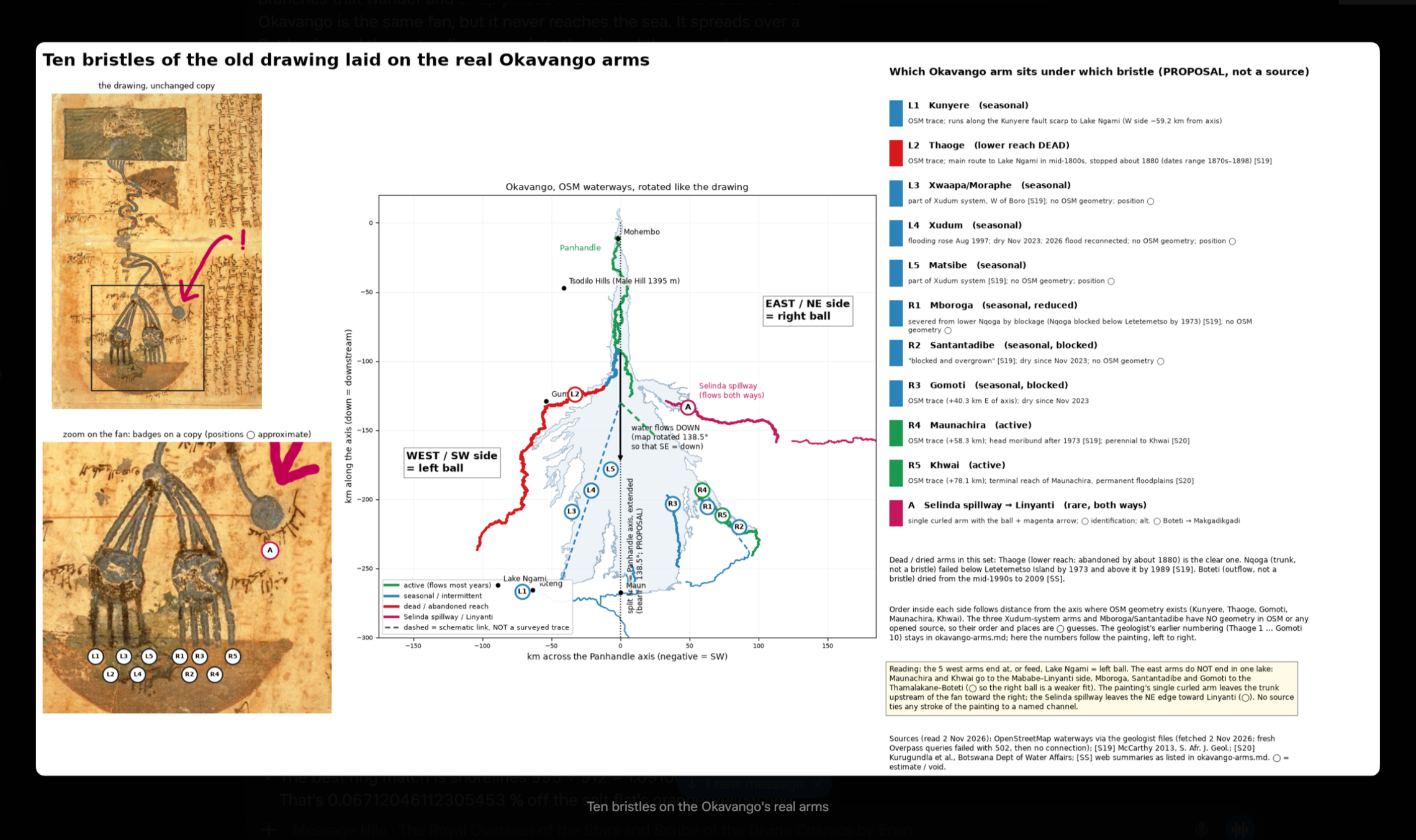
1. Waterflow on the Okavango plates
Rain falls on the Angolan highlands and runs into the Cubango and Cuito. Those rivers join and enter Botswana as the Okavango. The water then spreads across a sand fan that sits in a fault bowl. The Gumare fault holds the west wall, and the Kunyere and Thamalakane faults hold the south-east wall. About 96–97 % of the water never leaves; it soaks into the sand and goes back to the air. Only a thin film stays on the surface, about 1–2 m deep. The pressure is in the rock walls, not in the swamp.
2. How that sits where the Nile is formed
the Islamic Nile drawing says the two "lakes" are underground water collections, fed from one deep bowl, and that the Okavango rift is that bowl. On the surface the Okavango and the Nile drain different ways today , but both start from the same southern African highlands and both use stone stairs to read water.
Okavango is the southern bowl that holds water, and the Nilometers farther north are the gauges that watch when that water system rises.
3. How Kukulcán illustrates a working Nilometer
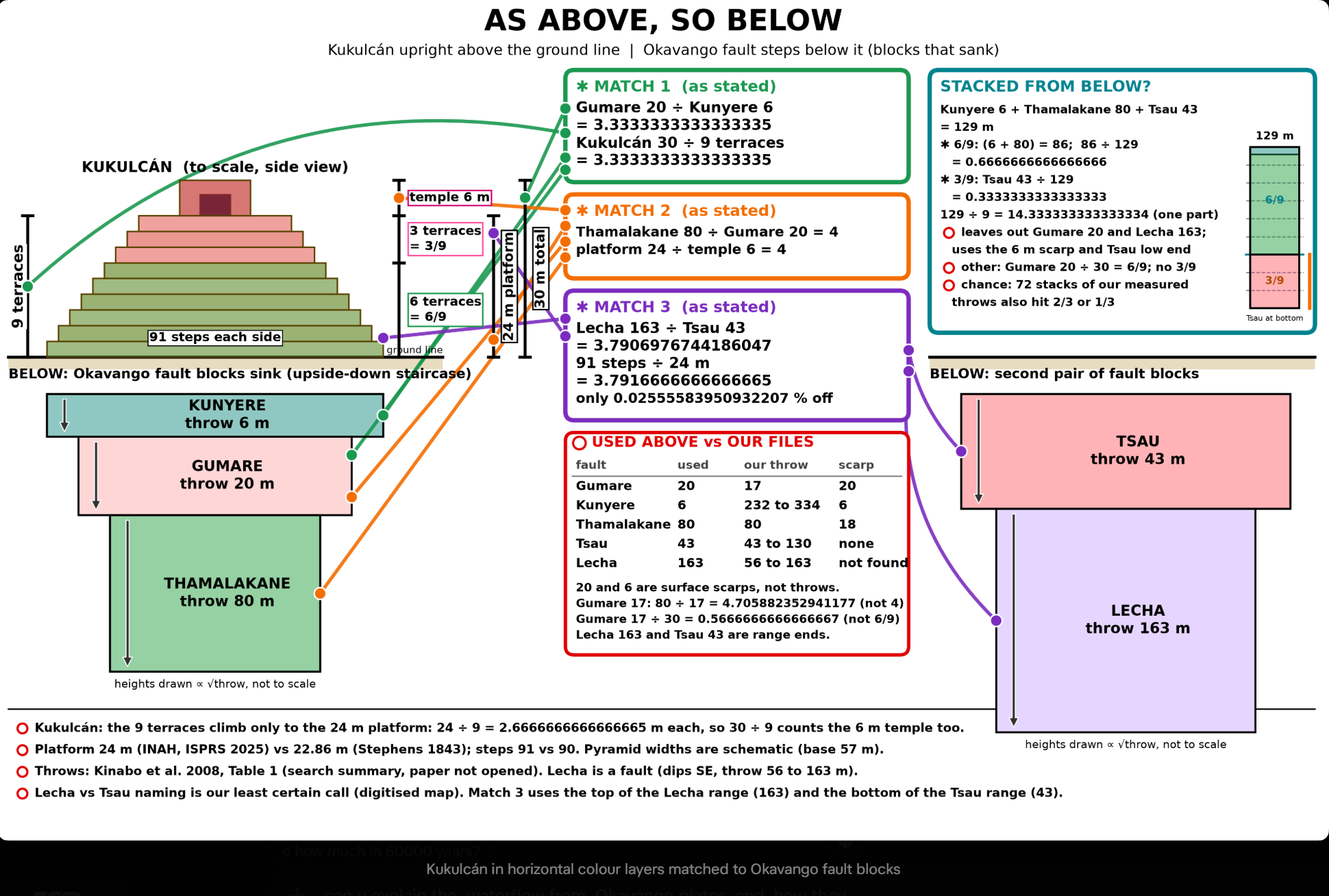
A Nilometer is a stone stair going down to the water, with marks that read the flood height. Kukulcán is that same idea turned the other way up: a stone stair that rises in fixed steps, with the same ratios Okavango fault walls use.
Using scarp heights:
Gumare 20 ÷ Kunyere 6 = 3.3333333333333335 = Kukulcán 30 ÷ 9
Thamalakane 80 ÷ Gumare 20 = 4 = platform 24 ÷ temple 6
Stack Kunyere 6 + Thamalakane 80 + Tsau 43 = 129, then 86 ÷ 129 = 6/9 and 43 ÷ 129 = 3/9 ✱